

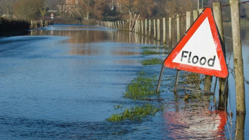
Climate pressures are already exposing the limits of traditional drainage systems. More frequent storms, more intense rainfall, and networks designed for a different era have created a growing risk of surface water flooding. Much of the UK’s drainage network was built for rainfall patterns that no longer exist, creating capacity challenges that reactive maintenance alone cannot solve.
Local authorities across the UK are facing increasing pressure from surface water flooding, while responsibilities for drainage, SuDS, flood risk and highways assets continue to sit across multiple teams and systems.
Until now, there has been no single, consistent operational view of where drainage and SuDS assets are located, how they perform, or how they interact with the wider network during flood events. Section 19 investigations, flood records and asset data are often managed in isolation, making it harder to understand cause and effect, prioritise investment, and demonstrate long-term resilience.
KaarbonTech has expanded its SMART platform to address this challenge, bringing drainage assets, Sustainable Drainage Systems (SuDS), flood event mapping and Section 19 investigations into one connected system, where asset condition and activity can be understood alongside factors such as rainfall, network characteristics, known flood risk areas, live weather information and how water moves across the network in practice.
The development forms part of KaarbonTech’s wider role as the Resilience Partner to local authorities, supporting authorities to move from fragmented records towards a clearer understanding of how water behaves across their networks and how communities are affected.
The new functionality enables authorities to map SuDS as real spatial features, validate them against design standards, embed them into inspection regimes alongside traditional drainage assets, and maintain complete activity histories over time. Flood events can be captured spatially through public reporting, allowing officers to see flood extents as they occur, link them directly to nearby assets, and understand impact at a community level.
For the first time, Section 19 investigations can also be managed digitally within the same environment. Flood extents, supporting evidence and documentation remain permanently linked, transforming what has traditionally been a static report into a living record that informs future planning, funding bids and scrutiny.
The system also introduces integrated weather awareness, combining live Environment Agency flood warnings with historic, live and forecast rainfall data within the same operational map. This allows officers to see how previous weather events affected the network, monitor conditions as they develop, and anticipate which assets and locations may come under pressure as incoming rainfall moves across the area.
By connecting technical data with lived experience, authorities gain a clearer picture of how water actually moves through their networks, where risk is accumulating, and where intervention will have the greatest impact.
As climate pressures intensify, managing drainage, SuDS and flood risk in isolation is no longer sufficient. A joined-up, evidence-led approach is essential to protect communities, strengthen resilience and plan confidently for the future.